Architect Markland Klaschka has been using Flash software to help an east London council generate major regeneration plans.
Adam Tinworth
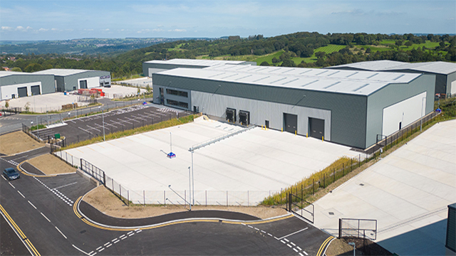
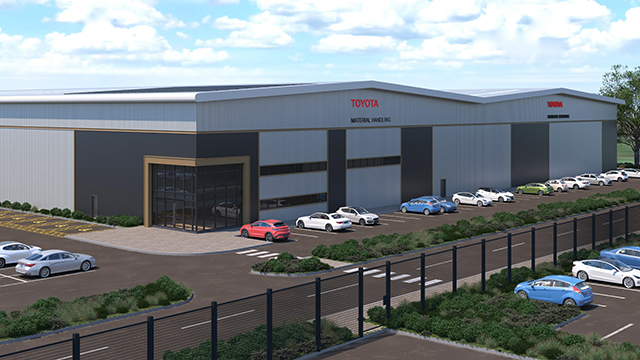
The new A13 link road through the east end of London and out to the M25 at Thurrock has opened up swathes of land for development.
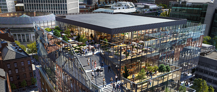
The region is in a prime position for regeneration. With the backing of both government and the Greater London Assembly, that’s exactly what the Borough of Barking & Dagenham has planned.
“To inspire confidence that change is happening across a wide area, you need more than a dry, paper plan or a glossy brochure that’s out of date as soon as it’s printed,” says Charles Brocklehurst of Brocklehurst Associates, an expert in urban regeneration. “You need the ability to demonstrate what is happening in a lively way and you need to be able to update the picture that one presents.”
For that reason, Brocklehurst directed the borough towards Markland Klaschka. The two-person firm, which is run out of a room in director Richard Markland’s house in London’s East End, is an architectural practice.
Markland and Robert Klaschka set up on their own just over a year ago. As a sideline, they’ve become involved in ways of marketing developments electronically.
The pair looked at the need for a single information portal, and came to the conclusion that web technology was the way to go. But rather than use a standard web page, they created an interactive presentation in Flash, a form of multimedia software that runs within a browser.
This allows seamless navigation across the whole East Thames area, incorporating everything from maps, site plans and briefs through to detailed photos and movies.
“The advantage of putting it on screen is that people are attracted to watch. They concentrate more on it than on a brochure,” explains Brocklehurst. “It is the animation that attracts attention. And it is the quality of the graphics that excite.”
“It’s an ongoing project,” says Klaschka. “We can easily add any new information or pictures as they’re needed.”
An example of this is an interactive transport map that overlays existing and planned communications links across the region, so the relationship between them and the development sites becomes obvious.
“It makes it easy to visualise the information,” says Klaschka.
The borough seems pleased with the work. It is displayed on a large plasma screen in the chief executive’s office, and used in discussions with potential developers.
“The interactive mapping project has provided a stimulating tool to present the borough’s regeneration plans,” says chief executive Graham Farrant.
The project has cost in the region of £15,000 to date, although the pair admit that they may have underpriced the work because it was a learning experience for them.
For more information, go to http://www.marklandklaschka.com
Advantages of interactive presentation
Using Flash multimedia software, Markland Klaschka has generated a series of maps, site plans and briefs for the whole of the East Thames area (top), which incorporate photographs and movies (bottom). It offers graphics that show clearly the relationship between proposed and existing transport links, and various development opportunities across the area (middle). These can be easily manipulated to incorporate altered proposals, policy changes and so on. They are also good to look at and simplify the job of explaining proposals