


Five years ago, Chris Pope was appointed by Greater Manchester Combined Authority to tackle a challenging task.
GMCA wanted to create an online resource for developers and planners to access information about all social and physical infrastructure across the Greater Manchester region, helping them understand the local area and spot opportunities for prospective developments.
As a spatial data analytics manager – “a fancy-pants way of saying I work with maps,” he says – Pope was in charge of building and developing the combined authority’s vision.
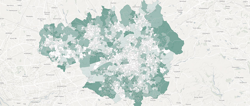
Now, MappingGM has evolved into much more than a map of the local area. The online resource holds roughly 300 layers of data, from information on house prices and cycle routes to data on flood risks, median income and broadband availability/speed in any area within the Greater Manchester boundary (which covers 10 council areas).
Another new dataset, which identifies potential ecosystem services opportunities (which Pope describes as green initiatives developers can incorporate into their schemes) was integrated into MappingGM and launched earlier this year.
But acquiring this data has not been without its challenges. Pope has had to tackle market concerns about the tool and address misconceptions about what MappingGM actually does – and GMCA’s motives for gathering data.
Battling misconceptions
Pope says that when MappingGM launched in 2015, the market was worried about GMCA’s motives for launching the resource.
There were misconceptions over whether GMCA was trying to muscle out existing datasets on the Greater Manchester area, and people questioned what the authority was trying to achieve by harvesting this pool of data, he adds.
“It’s not about taking over the world,” Pope says, throwing aside these concerns with a wave of his hand. “It’s about bringing information together so that people can make better, quicker decisions with this kind of information, which is now available at their fingertips.”
And this information, Pope says, was not easily accessible before the launch of MappingGM. There was no resource in the market at this point that had pulled together all available sources to map and display information about developments and infrastructure in the Greater Manchester area.
“We are going to provide what we can provide, and if the market is already providing that then we will step back,” he says. “But actually the market isn’t providing this – and if it is, it’s providing this (in some cases) at quite a high cost.”
To plug this gap, GMCA sought to develop MappingGM. “All we are doing is making sure information that has been made available to us is also available to more organisations,” Pope says.
So, if MappingGM was created with the needs of developers at the forefront, how has the property sector reacted to the resource?
“It has been fairly positive,” Pope says, adding that there is appetite for more. “We always get emails from local estate agents through to big developers and planning consultants who ask us about the information that we’ve got, whether we could release it and whether we could show it in a slightly different way.”
But it seems that GMCA may have overestimated the tool’s reach into the regional sector. EG asked five property professionals across the agent and developer sectors whether they used the resource, but none said they did.
Far East Consortium regional general manager Gavin Taylor says the company does not use the resource – indeed, the planning team had never heard of it. “However, it looks like something that would be great for us, especially in terms of using benchmark data,” Taylor says, adding if GMCA ran workshops on how to utilise the resource, the FEC team would “definitely be interested” in using the tool.
“I just don’t understand why it hasn’t been marketed,” he adds.
New data
MappingGM may not be used by the sector as much as the GMCA would like to think. However, as Taylor says, it could be a useful tool for understanding the local area – especially for understanding the environmental initiatives developers could include in their plans.
The resource has recently expanded to include data on ecosystem services opportunity areas across Greater Manchester, which Pope describes as initiatives developers can introduce at relatively low cost that can have a significant impact on the local environment (for example, mitigating flood risks by planting street trees – which also helps lower CO2 levels in the local area).
Pope estimates there are 40-50 environmental opportunities developers can undertake with the help of MappingGM.
“It’s a great thing to include within planning applications because you can show what you are doing, how you can get your plans through and also help make the Greater Manchester a green city region – because that’s what we care about,” he says.
But the data MappingGM most needs is residential information, which Pope says is harder to acquire. “Housing is a big thing for us,” he says. “We [GMCA] really care about ensuring that houses can be provided to the right people at the right time. But we need more information about rents, such as average rents in different areas.”
This data could be critical in helping GMCA meet its growing housing demand. In GMCA’s draft spatial framework (which outlines Greater Manchester’s housing, employment and environmental plans for the next 20 years), the combined authority estimates that more than 200,000 new homes need to be delivered over this period.
Real estate could step in to help fill in this knowledge gap, Pope says. “We need information like this from different property organisations, and also information on their plans.”
The need for this information has ramped up since Grenfell. The disaster highlighted the need for the public services, such as the fire and rescue service, to be able to access information about the layout and constitution of building assets.
But although Pope says GMCA has mooted approaching real estate companies for data, it has not done so yet – because it wouldn’t want to “put a burden on them”.
“It makes more sense for us to take that information directly from the local planning authorities,” he says.
“We always look for new data sets and new data sources, and if there’s something that’s coming up that we find interesting or would really help us with our analysis (and, more importantly, would help our planning and housing teams), then definitely – we will always look for new opportunities.”
Pushing innovation
MappingGM is just one example of Manchester’s attempt to advance innovation and develop its digital sector in an attempt to match its southern rival, London.
“I think it is well known that most areas in the UK are at a slight disadvantage, compared with London,” he says. “These regions don’t have the same collaboration, density of people, businesses and skills that London has.”
But MappingGM has been an attempt to help people in the Greater Manchester region collaborate to push development forwards, says Pope. One of the challenges was removing any silos that might have occurred within different councils, to make planning schemes much easier for developers.
“The public sector generally works in quite a siloed way, but in Greater Manchester we try to look beyond the area at the connections outside,” he says. “For example, a developer in Greater Manchester isn’t just going to be looking at a site in Bolton; they are going to be looking at a site in Bury, Salford and Wigan.
“A developer might be looking at a Manchester city centre site and another in Salford or Rochdale. What’s the point in developers having to go to a variety of different organisations to pull all the information together when we’ve got it all?”
So, what about Pope’s own plans for developing MappingGM? He hopes to push the tool’s environmental opportunities database even further, providing more information that can be used by developers to help plan greener schemes in the Greater Manchester region.
His ultimate goal is to create an even more flexible resource that can be used by many different sectors to understand the area. But ever the Northern realist, he says the tool needs to be developed sensibly.
“What we are trying to provide is something that is useful, that’s relevant and that’s not just going to include every single piece of data,” he says. “After all, we don’t need to know about how many people eat bread.” A good point.
To send feedback, e-mail lucy.alderson@egi.co.uk or tweet @LucyAJourno or @estatesgazette